

Service: Electrical Resistivity Methods
Platforms
Molab
Techniques
No
techniques found
Technology Readiness Level
9 - service proven in operational environment (production)
Organization
Service contact persons
Phone:302831106019
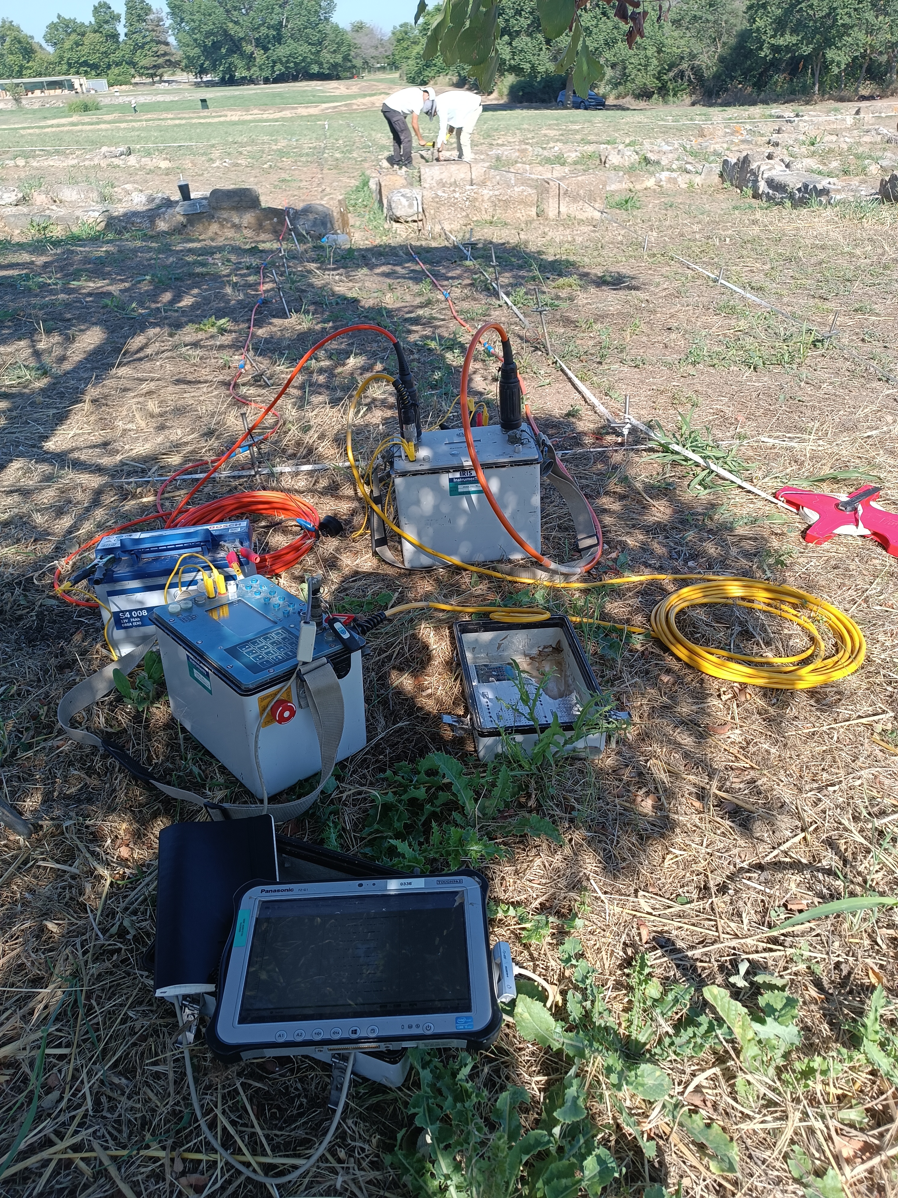
Electrical resistivity methods provide non-destructive investigation of subsurface conditions by measuring variations in electrical resistance. Applied on land and in shallow-water environments, they support the detection and mapping of buried archaeological structures, geological layers, moisture variations and seabed features. Outputs include georeferenced 2-D, 3-D and time-lapse models and stratigraphic interpretations.
Electrical resistivity methods are active geophysical techniques that investigate subsurface conditions by injecting direct or low-frequency alternating current, into the ground through two electrodes and measuring the resulting voltage differences with two additional potential electrodes. These measurements are converted to apparent resistivity, enabling contrasts associated with buried archaeological features (walls, building foundations, roads, ditches), soil moisture, clay content and geological/stratigraphic conditions in terrestrial and shallow aquatic environments. Survey depth below the surface and seabed is primarily controlled by electrode spacing: wider separations investigate deeper layers, while close spacing is preferred for shallow targets. Common configurations include dipole–dipole, pole–dipole, square, Wenner, Schlumberger and twin-probe arrays, each offering different sensitivities to depth, lateral variation, signal strength and field conditions. Resistivity surveys may be conducted as horizontal mapping, vertical electrical sounding, or 2-D, 3-D and 4-D Electrical Resistivity Tomography. For shallow-water investigations, electrodes may be deployed in fixed submerged grids or moved dynamically along survey lines considering the seabed topography and seawater conductivity. Georeferenced 2-D and 3-D resistivity maps can be compiled with the use of ground control points measured with RTK-GNSS instrumentations.
Fields of application
Archaeology
Environmental archaeology
Environmental engineering
Field archaeology
Geoarchaeology
Geology
Geophysics
Heritage science (cultural heritage discipline)
Hydrogeology
Landscape archaeology
Underwater archaeology
Urban archaeology
Materials
Soil
Methods
Other information
-
Output: • Georeferenced 2-D and 3-D maps showing the resistivity variation below the ground and seabed • Volumetric representation of subsurface/submerged structures • Compilation of stratigraphic/geological models • Diagrammatic interpretation of features related to archaeological structures