

Service: Ground Penetrating Radar
Platforms
Molab
Techniques
No
techniques found
Technology Readiness Level
9 - service proven in operational environment (production)
Organization
Service contact persons
Phone:302831106019
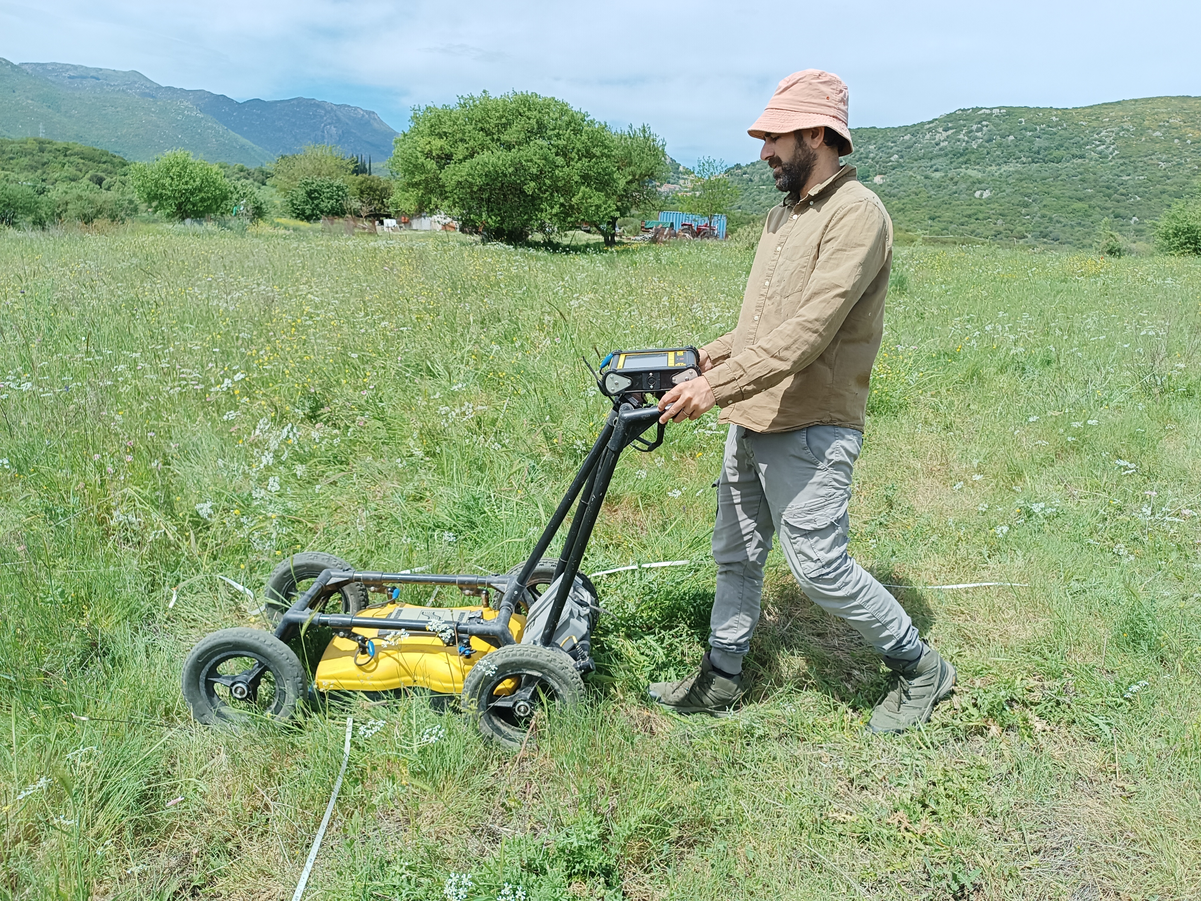
Ground Penetrating Radar (GPR) is a non-destructive geophysical method that transmits high-frequency radio-wave pulses into the ground and records reflections from materials with contrasting electrical properties. It supports the detection and depth estimation of archaeological remains, cavities, utilities, bedrock and stratigraphic boundaries, producing vertical radargrams, horizontal depth slices and three-dimensional subsurface models.
Ground Penetrating Radar (GPR) is a non-destructive electromagnetic geophysical method used to image subsurface structures. It transmits short, high-frequency radio-wave pulses into the ground and records energy reflected from boundaries between materials with contrasting electrical properties, particularly conductivity and dielectric permittivity. By measuring signal travel time and estimating wave velocity, the depth of buried reflectors can be determined. GPR is widely applied to identify archaeological remains, cavities, stratigraphic boundaries, bedrock, fractures, utilities and groundwater-related features. Survey data are collected along parallel profiles and displayed as vertical radargrams; closely spaced grids also enable horizontal depth slices and three-dimensional subsurface models. Multichannel GPR systems integrated with RTK-GNSS for accurate positioning can increase the spatial coverage and resolution. Penetration and resolution depend on antenna frequency and ground conditions, with conductive, clay-rich, saline or wet soils limiting performance.
Fields of application
Archaeology
Engineering
Environmental archaeology
Field archaeology
Geoarchaeology
Heritage science (cultural heritage discipline)
Landscape archaeology
Materials
Soil
Methods
Other information
-
Output: • 2-D vertical GPR radargramms • 2-D GPR Georeferenced plan view maps showing strong/weak reflections • 3-D GPR volumetric representation of subsurface structures • Diagrammatic interpretation of features related to archaeological structures