
Service: Dynamic Monitoring of Sensitivity of Materials to Light/Radiation (microfade testing and mitigation of radiation induced alteration)
Platforms
Molab
Techniques
No
techniques found
VIS/NIR Reflectance Hyperspectral Imaging
Organization
United Kingdom
Service contact persons
Reference
A sensitive dynamic monitoring method to assess reflectance alterations for microfade testing of material sensitivity to light exposure, and the method can also be used as a monitoring method for the detection of both physical and chemical changes on historical material surfaces induced by intense radiations (e.g. lasers, synchrotron X-rays) used for material analysis.
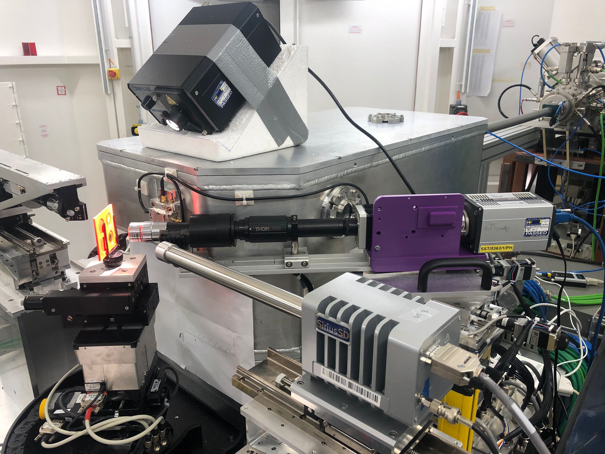
Time and spatially resolved reflectance spectroscopy is an efficient, sensitive and robust online monitoring set-up that is more controlled and reliable than traditional microfade testing, and capable of detecting early warning signs of alteration induced by radiation used for analysis. The method can therefore be used to prevent or minimize radiation damage during the analysis of delicate historical materials. The method is based on the monitoring of reflectance spectral changes (ΔR) before, during and after a specific irradiation, and is suitable for assessing the non-invasiveness and safety of a specific irradiation condition. The monitoring can be carried out at 3 to 20 cm working distance or in a remote modality (>3 m) depending on the lateral spatial resolution required. The technique is intended to be used either in combination with the analytical technique in question (e.g. Raman spectroscopy) to mitigate radiation induced damage, or for microfade testing of a material's sensitivity to light induced damage.
Fields of application
Architecture (discipline)
Art (discipline)
Conservation (discipline)
Conservation science (cultural heritage discipline)
Decorative arts (discipline)
Materials
Ceramics
Glass
stone
Metal
wood
Paper
Textiles
metallurgical by-products
adhesives and glues
Pigments
Other information
-
Input: Colour image of the object Imaging region For remote applications, information on room layout and distance to the object/structure Object information- dimensions etc
-
Output: colour images, e.g. RGB, CIE L*a*b* (file format negotiable) spectral image cubes (file format negotiable) ASCII meta data file All data are linked through the MAPSI app with measured areas marked and any comments on the data