

Service: Satellite Remote Sensing for Landscape, Terrain and Cultural Heritage Documentation Analysis
Platforms
Digilab
Techniques
No
techniques found
Technology Readiness Level
9 - service proven in operational environment (production)
Organization
Service contact persons
Phone:302831106021
The service integrates Earth Observation imagery, digital elevation models and historical geospatial sources to document cultural heritage sites and analyse their surrounding landscapes. It supports terrain, drainage, visibility, accessibility and land-use assessments, identifies potential archaeological features, reconstructs palaeolandscapes, and produces georeferenced imagery, terrain models, interpretative maps and databases to guide field investigation and heritage management.
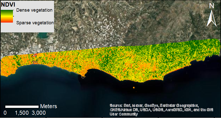
Integrated investigation combining pre-field Earth Observation analysis to characterize cultural landscapes and terrain settings. Digital elevation models are transformed into quantitative variables such as slope, aspect, curvature, landform units, drainage networks, catchments, flow accumulation, visibility and accessibility. Satellite imagery provides georeferenced documentation of monuments, archaeological sites, features identification and their surrounding landscapes through orthomosaics, surface and terrain models, and repeatable spatial baselines. Historical and satellite Earth Observation data are also used to design and prioritize the pre-field campaign.
The service supports settlement and route analysis, palaeolandscape reconstruction, land-use/land-cover mapping and the identification of potential cultural heritage remnants. Candidate features may be expressed as crop marks, soil marks, moisture contrasts, thermal anomalies, vegetation stress, micro-topographic forms, buried drainage patterns, wall alignments, mounds, ditches, palaeochannels, route traces or systematic geometric patterns. Spectral, thermal, textural, temporal, topographic and radar indicators are interpreted together with geology, soils, historical maps, archival aerial photographs and archaeological inventories.
Fields of application
Archaeology
Earth sciences
Geoarchaeology
Geomorphology
Landscape archaeology
Physical geography
Materials
Soil
Other information
-
Output: • Terrain analysis, geomorphometric indices, drainage network, landform and micro-topographic maps • Georeferenced satellite imageries, DSM/DTM products and site maps Catalogue and maps of candidate archaeological remnants and landscape features, including interpretation, confidence and field-verification priority • Integrated geospatial database and interpretative maps linking Earth Observation, terrain, historical, and archaeological evidence