
Service: Remote to Close Range VIS/NIR Hyperspectral Imaging
Platforms
Molab
Techniques
No
techniques found
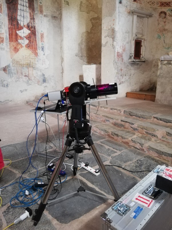
VIS/NIR Reflectance Hyperspectral Imaging
Organization
United Kingdom
Service contact persons
Mapping of original materials, degradation products and conservation materials at a high spectral and lateral resolution. Revealing drawings and text; it can provide identification of materials, mainly pigments and dyes; accurate colour images for documentation.
Reflectance spectral imaging is an efficient way of collecting millions of reflectance spectra over an area (2D spatial and wavelength in the 3rd dimension). In the visible-NIR spectral region, the spectral features primarily concern electronic transitions in molecules, enabling the identification of pigments. The main advantage of remote reflectance hyperspectral imaging compared with the spectral imaging system for large areas survey (PRISMS) is the high spectral resolution which allows the firm identification of pigments and dyes with sharp spectral features (e.g. cobalt pigments, anthraquinone dyes) in addition to those identifiable by the moderate spectral resolution spectral imaging system, PRISMS. Thus, hyperspectral imaging at this level can provide material identification (both original and degraded) alongside the ability to distinguish regions of differing material composition based on the spectral reflectance. The VIS-NIR reflectance hyperspectral imaging can operate at both close range and large distances (up to tens of metres) at sub-millimetre spatial resolution and high spectral resolution, with data collection feasible from one position on the ground regardless of the height of the monument/object. The technique provides complementary information for material identification (both original and degraded material) with SWIR reflectance spectral imaging and remote Raman spectroscopy. The visible reflectance spectra can be used to reconstruct images with a high colour accuracy. VIS-NIR spectral imaging can also reveal additional information, including faded drawings, writings and preparatory sketches, as well as areas of degradation and past intervention.
Fields of application
Architecture (discipline)
Arts (broad discipline)
Decorative arts (discipline)
Materials
Ceramics
Glass
stone
Metal
metallurgical by-products
Pigments
adhesives and glues
varnishes
Textiles
wood and paper
Methods
Other information
-
Input: Colour image of the object imaging region Information on room/space layout and distance to the object/structure Object information- dimensions etc
-
Output: colour images, e.g. RGB, CIE L*a*b* (file format negotiable) spectral image cubes (file format negotiable) ASCII meta data file All data are linked through the MAPSI app with measured areas marked and any comments on the data